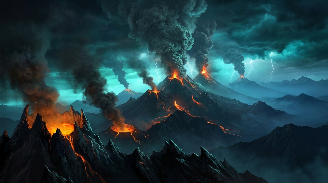
Global Volcanic Activity Overview
Date: March 22, 2026
Total Monitored Events: 20
Report Period: Last 24 Hours
The GeoShake monitoring network has tracked significant volcanic unrest across the Pacific Ring of Fire during the past 24 hours, with Santiaguito (Guatemala) elevating to Watch alert level amid ongoing eruptive activity. Additionally, volcanic ash advisories have been issued for four major stratovolcanoes: Sabancaya (Peru), Sangay and Reventador (Ecuador), and Semeru (Indonesia). These emissions pose potential hazards to aviation corridors and downwind populations.
Notable Eruption: Santiaguito (Guatemala)
Activity Status: Watch
Event Type: Confirmed Eruption
Last Update: March 21, 2026, 21:00 UTC
The Santiaguito lava dome complex has escalated to Alert Level Watch, indicating heightened unrest with increased potential for explosive activity. Located in the western highlands of Guatemala, this volcano has demonstrated sustained eruptive behavior characterized by dome growth, intermittent explosions, and pyroclastic flows.
Technical Analysis
- Volcanic Alert Level: Watch (Heightened unrest)
- Eruption Style: Dome extrusion with possible vulcanian explosions
- Hazards: Pyroclastic flows, lahars during rainfall, ashfall on populated areas including Quetzaltenango
Safety Recommendations:
- Residents within 10 km should prepare evacuation kits and monitor official alerts
- Avoid river valleys draining the volcano due to lahar risk during precipitation
- Agricultural communities should protect livestock and water supplies from potential ash contamination
Ash Advisory: Sabancaya (Peru)
Location: Arequipa Region, Peru
Ash Cloud Height: 6,700 meters (22,000 ft / FL220)
Advisory Issued: March 21, 2026, 16:30 UTC
Sabancaya continues its persistent eruptive phase, emitting ash columns reaching 6,700 meters above sea level. This activity affects upper-level air traffic routes over southern Peru. The volcano has maintained moderate explosive activity with periodic ash emissions impacting the surrounding Colca Canyon region.
Aviation Impact
- Flight Level Affected: FL180-FL240
- Drift Pattern: Predominantly east-southeast based on prevailing wind patterns
- NOTAM Status: Pilots should check current airspace restrictions for the Arequipa FIR
Public Safety Guidance:
- Communities in the districts of Maca, Achoma, and Yanque should expect light ashfall
- Use N95 masks when ash is present; seal windows and doors
- Protect water catchment systems from ash infiltration
Ash Advisory: Sangay (Ecuador)
Location: Morona-Santiago Province, Ecuador
Ash Cloud Height: 6,400 meters (21,000 ft / FL210)
Advisory Issued: March 22, 2026, 06:30 UTC
One of Ecuador’s most active volcanoes, Sangay has produced an ash emission reaching 6,400 meters altitude. The remote location of this symmetrical stratovolcano minimizes immediate human exposure, though ash plumes can affect the Amazonian foothills and upper airspace.
Technical Parameters
- Column Height: 6,400 m ASL
- Volcano Type: Stratovolcano (Active since 1628)
- Primary Hazards: Ash fall, pyroclastic flows into the Volcán River
Precautionary Measures:
- Aviation routes between Quito and Cuenca may experience temporary rerouting
- Indigenous communities in the Upano River valley should monitor for ash accumulation on crops
- Avoid outdoor activities if volcanic haze is observed
Ash Advisory: Reventador (Ecuador)
Location: Napo Province, Ecuador
Ash Cloud Height: 4,600 meters (15,000 ft / FL150)
Advisory Issued: March 22, 2026, 03:45 UTC
Reventador has generated a significant ash emission reaching 4,600 meters, posing risks to low-to-medium altitude aviation corridors east of Quito. The volcano, whose name means “Exploder” in Spanish, frequently produces strombolian to vulcanian eruptions from its summit crater.
Safety Protocols:
- Oil installations in the Oriente region should monitor air intake systems
- Climbing activities on the volcano are strongly discouraged
- Wildlife observation lodges should prepare ash mitigation protocols
Ash Advisory: Semeru (Indonesia)
Location: East Java, Indonesia
Ash Cloud Height: 4,600 meters (15,000 ft / FL150)
Advisory Issued: March 21, 2026, 23:00 UTC
Indonesia’s highest volcano, Semeru, has produced an ash cloud reaching 4,600 meters during its ongoing eruptive episode. The volcano has remained active since 2021, with frequent pyroclastic flows and lahars threatening the densely populated areas of Lumajang and Malang regencies.
Critical Safety Information:
- Exclusion Zone: Maintain 5 km radius from Jonggring Saloko crater; 8 km in southeast sector (drainage area)
- Lahar Warning: Heavy rainfall can trigger dangerous mudflows in the Besuk Kobokan and other drainages
- Evacuation Preparedness: Residents in high-risk zones should verify emergency supply kits and evacuation route accessibility
Additional Monitored Activity
The GeoShake network continues surveillance on several additional volcanoes showing elevated unrest or minor activity:
- Fuego (Guatemala): Continued strombolian activity with intermittent lava flows
- Aoba (Vanuatu): Minor gas and steam emissions
- Ibu (Indonesia): Low-level thermal anomalies detected
- Mayon (Philippines): Elevated seismicity under close observation
- Shiveluch (Russia): Dome growth continues with occasional ash emissions
- Canlaon (Philippines): Background seismic activity monitoring
Aviation Safety & Public Health Recommendations
For Aviation Operators:
- Pre-Flight Briefing: Verify current volcanic ash advisories (VAAs) for routes crossing the Pacific, South American, and Southeast Asian corridors
- Ash Avoidance: No fly zones should be respected even if ash appears dispersed; volcanic ash can cause engine failure and windshield abrasion
- Alternate Planning: Identify diversion airports upwind of active volcanic regions
For General Population:
- Respiratory Protection: During ashfall, use N95 or P100 respirators; standard surgical masks provide insufficient protection
- Infrastructure Protection: Clear ash from rooftops and gutters to prevent structural collapse (wet ash weighs 10-15 kg/m² at 1 cm depth)
- Water Security: Cover water supplies; volcanic ash can contaminate drinking water with fluoride and heavy metals
- Vehicle Operation: Avoid driving during heavy ashfall; if necessary, change air filters immediately after exposure
Monitoring Summary
Today’s activity underscores the dynamic nature of circum-Pacific volcanism, with simultaneous ash production across three distinct tectonic settings: the Andean Volcanic Belt (Sabancaya), the Northern Volcanic Zone (Sangay, Reventador), and the Sunda Arc (Semeru). The Watch-level escalation at Santiaguito warrants particular attention due to its potential for paroxysmal explosions affecting populated highland regions.
GeoShake continues 24/7 monitoring of these systems. Updates will be issued within 60 minutes of significant status changes or new ash advisories.
Report compiled from global monitoring networks including VAACs (Volcanic Ash Advisory Centers), USGS, IG-EPN (Ecuador), INGVulcan (Guatemala), PVMBG (Indonesia), and IGP (Peru).
Track this event live on the map!
Download GeoShake and get instant earthquake alerts.
Download GeoShake