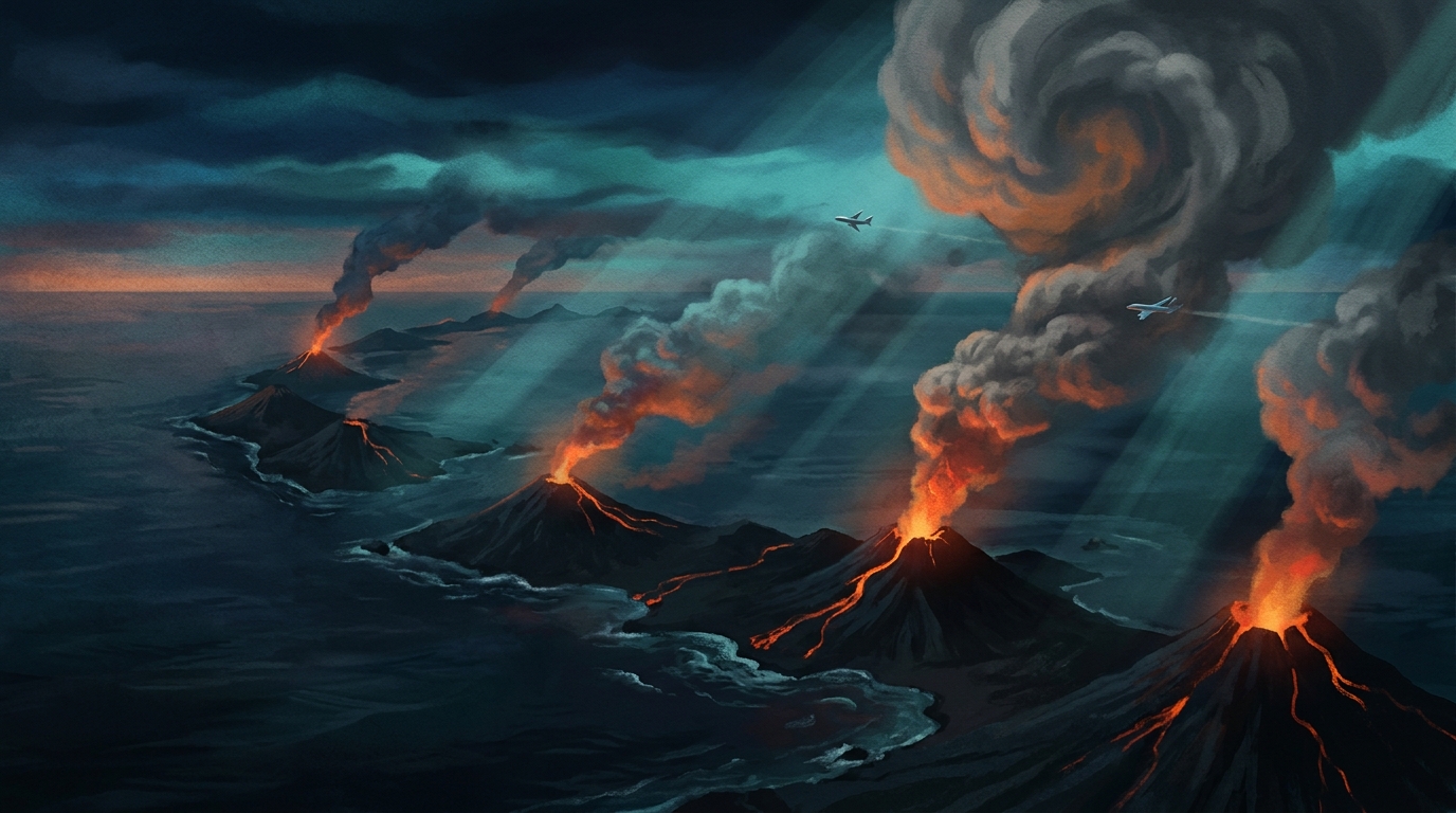
Volcanic activity remained elevated across the globe over the past 24 hours, with the Smithsonian Global Volcanism Program recording 26 distinct volcanic events from June 1 to June 2, 2026. Notable developments include the renewed eruption at Kilauea in Hawai’i and significant ash advisories issued for high-altitude plumes from Sabancaya in Peru, Shiveluch in Russia, and Popocatépetl in Mexico. These events underscore the dynamic nature of subduction zone volcanism and intraplate hotspot activity currently monitored by the USGS, local geological surveys, and international VAAC networks.
Which Volcanoes Are Erupting Today?
Kilauea, Hawai’i
Hawai’i’s most active volcano continues its summit eruption within Halemaʻumaʻu crater, according to the USGS Hawaiian Volcano Observatory. Lava effusion remains confined to the crater floor, with no immediate threat to residential areas, though volcanic gas emissions continue to affect air quality downwind. The eruption began producing visible lava flows early on June 2, with thermal satellite imagery confirming sustained high-temperature activity.
Fuego, Guatemala
Fuego volcano maintains its pattern of strombolian explosions and lava flow generation along its flanks. Located approximately 40 kilometers southwest of Guatemala City, this stratovolcano continues to produce frequent ash emissions that affect local communities. The ongoing activity represents typical persistent behavior for one of Central America’s most active volcanic systems.
Ring of Fire Persisters
Multiple volcanoes across the Pacific Ring of Fire continue elevated unrest without major explosive events. Indonesia’s Lewotobi, Semeru, Ibu, and Dukono all show ongoing thermal anomalies and minor ash venting. In the Andes, Puracé (Colombia), Reventador (Ecuador), and Sangay (Ecuador) maintain active lava domes or crater incandescence. The Philippines’ Mayon volcano also remains under close observation by PHIVOLCS due to persistent crater glow and rockfall activity.
Where Are Ash Advisories Currently Active?
Three major volcanoes generated ash clouds reaching commercial aviation altitudes during the reporting period, prompting advisories from international Volcanic Ash Advisory Centers.
Sabancaya, Peru
Sabancaya produced an ash column reaching 7,900 meters (approximately 25,900 feet) above sea level on June 1 at 17:45 UTC. This explosive event sent volcanic material into the upper troposphere, potentially affecting flight routes over southern Peru. The aviation color code was listed as “NOT GIVEN” in current advisories, though the significant altitude warrants immediate pilot awareness for routes between Lima and Arequipa.
Shiveluch, Kamchatka, Russia
Russia’s Shiveluch volcano generated an ash plume reaching 6,700 meters (approximately 22,000 feet) early on June 2. Located on the Kamchatka Peninsula, Shiveluch’s ongoing dome growth periodically produces explosive collapses that send ash into aviation corridors crossing the North Pacific. The ash cloud drifted eastward following emission, potentially affecting transpacific flight routes between Asia and North America.
Popocatépetl, Mexico
Mexico’s “Smoking Mountain” produced an ash advisory at 6,100 meters (approximately 20,000 feet) on June 1, continuing its months-long pattern of frequent exhalations. The Popocatépetl volcano remains on high alert due to its proximity to Mexico City and Puebla, with ash fall potentially affecting urban areas depending on wind patterns. CENAPRED (Centro Nacional de Prevención de Desastres) continues 24-hour monitoring of this stratovolcano.
What Should Aviation Authorities Know?
Today’s ash advisories present specific challenges for flight operations across three continents. The reported ash cloud heights—ranging from 6,100 to 7,900 meters—place these plumes squarely within standard commercial flight levels, particularly affecting routes between FL200 and FL260.
Aircraft encountering volcanic ash face catastrophic engine failure risks due to silicate particle melting within turbine systems. VAAC Washington maintains responsibility for Sabancaya and Popocatépetl advisories, while VAAC Anchorage monitors Shiveluch activity. Pilots should note that ash clouds can travel hundreds of kilometers downwind while remaining invisible to standard aircraft weather radar systems.
How Do Today’s Events Compare to Recent Global Activity?
The 26 recorded events represent typical background volcanic activity for the planet, with 13 distinct volcanic systems showing measurable unrest. The geographic distribution highlights the concentrated nature of subduction zone volcanism, with 40% of active systems located along the Pacific’s western margin (Indonesia, Philippines, Kamchatka) and another 30% along the eastern margin (Andes, Central America, Mexico).
| Volcano | Location | Event Type | Alert Level |
|---|---|---|---|
| Kilauea | Hawai’i, USA | Eruption | Advisory |
| Sabancaya | Peru | Ash Advisory | Not Specified |
| Shiveluch | Kamchatka, Russia | Ash Advisory | Not Specified |
| Popocatépetl | Mexico | Ash Advisory | Not Specified |
| Fuego | Guatemala | Eruption | Not Specified |
| Puracé | Colombia | Unrest | Not Specified |
| Mayon | Philippines | Unrest | Not Specified |
| Lewotobi | Indonesia | Unrest | Not Specified |
| Semeru | Indonesia | Unrest | Not Specified |
| Ibu | Indonesia | Unrest | Not Specified |
| Reventador | Ecuador | Unrest | Not Specified |
| Dukono | Indonesia | Unrest | Not Specified |
| Sangay | Ecuador | Unrest | Not Specified |
Data compiled from the Smithsonian Global Volcanism Program and regional monitoring agencies.
Frequently Asked Questions
Is volcanic ash dangerous to aircraft engines?
Yes. Volcanic ash contains microscopic silicate particles that melt when ingested by jet engines operating at high temperatures, coating turbine blades and causing engine flameout or permanent damage. Even thin ash clouds invisible to pilots can abrade cockpit windows and clog fuel systems, which is why aviation authorities mandate strict avoidance of all designated volcanic ash hazard zones regardless of reported cloud density.
How high can volcanic ash clouds typically reach?
Explosive volcanic eruptions can inject ash anywhere from a few thousand meters to over 30 kilometers into the atmosphere depending on eruption explosivity and magma gas content. Today’s reported ash columns reached 6,100 to 7,900 meters (approximately 20,000 to 26,000 feet), placing them within the primary cruising altitudes of commercial aircraft. Ash at these altitudes can remain suspended for days and travel thousands of kilometers downwind, affecting airspace far from the eruption source.
Where does the Smithsonian Global Volcanism Program obtain its eruption data?
The Smithsonian Global Volcanism Program aggregates real-time volcanic data from a global network of local volcano observatories, nine international Volcanic Ash Advisory Centers (VAACs), and satellite-based thermal infrared sensors. This collaborative monitoring system tracks thermal anomalies, sulfur dioxide emissions, ground deformation, and seismic activity to provide comprehensive volcanic hazard assessments for the international community.
Track this event live on the map!
Download GeoShake and get instant earthquake alerts.
Download GeoShake