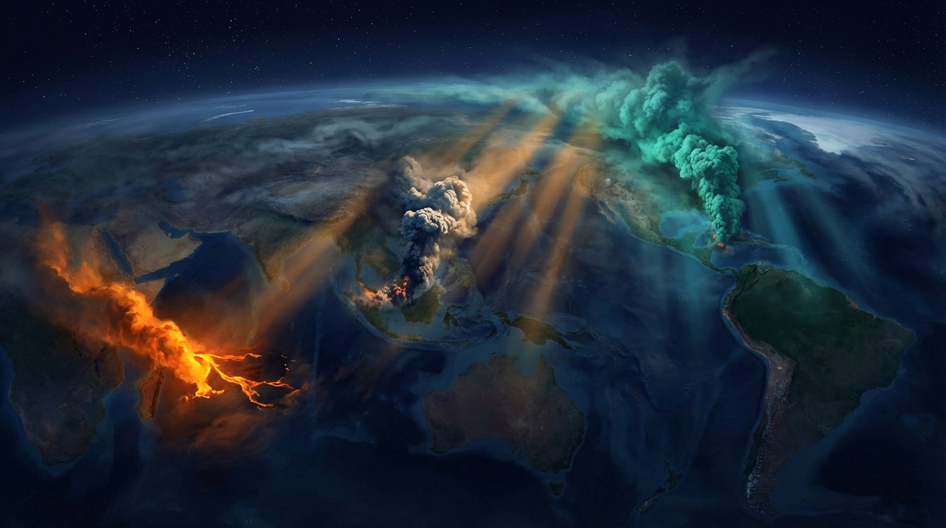
Global volcanic monitoring networks tracked 27 distinct volcanic events over the past 24 hours, with significant eruptive activity reported at Piton de la Fournaise in the Indian Ocean and renewed ash hazards threatening aviation corridors across the Pacific Ring of Fire. According to the Smithsonian Global Volcanism Program, the most impactful developments include a new effusive eruption on Réunion Island and multiple Volcanic Ash Advisories (VAAs) issued for active stratovolcanoes in Ecuador, Indonesia, and Guatemala. Aviation authorities are monitoring ash plumes reaching altitudes of 6,400 meters, posing potential risks to trans-Pacific flight routes.
Which Volcanoes Erupted Today?
Piton de la Fournaise, located on La Réunion in the Indian Ocean, entered a new eruptive phase early Monday morning, with thermal anomalies and incandescent material detected by satellite monitoring systems. The eruption, confirmed by local observatory networks, represents the volcano’s typical effusive behavior, characterized by lava flows rather than explosive plinian activity. No aviation color code was immediately assigned, though ground-based monitoring indicates active lava effusion from the summit region.
Santiaguito volcano in Guatemala also produced eruptive activity during the reporting period, continuing its persistent dome-building phase that has characterized the system for nearly a century. The Santa María volcanic complex’s active dome generated explosions and possible pyroclastic flows, though specific eruption parameters remained under analysis by local monitoring agencies. This activity fits the volcano’s established pattern of intermittent vulcanian explosions and dome collapses.
What Ash Hazards Are Threatening Aviation Today?
Three significant ash advisories dominated the aviation threat landscape on March 23, 2026, with Ecuador’s Sangay volcano producing the highest-reaching plume at 6,400 meters (21,000 feet) above sea level. The Washington Volcanic Ash Advisory Center issued alerts for Sangay at 09:00 UTC, warning of potential ash dispersion toward eastern flight corridors. At this altitude, the volcanic aerosol poses serious risks to jet engine performance and requires immediate flight path adjustments for commercial aviation.
Semeru volcano in Indonesia generated a substantial ash column reaching 4,600 meters (15,090 feet), prompting advisories from the Darwin VAAC at 17:00 UTC. The stratovolcano, which underwent a catastrophic flank collapse in 2021, continues to exhibit strombolian to vulcanian explosive activity from its Jonggring Seloko crater. Prevailing wind patterns could transport this ash toward northern Australia and Southeast Asian air routes.
Fuego volcano in Guatemala produced an ash advisory at 10:45 UTC, with plume heights reported at 4,300 meters (14,100 feet) above sea level. This hyperactive basaltic stratovolcano maintains one of the highest persistent activity levels in the Western Hemisphere, frequently generating ash emissions that affect Guatemala City and regional aviation. The current emission rate suggests continued magmatic gas release and intermittent explosive activity from the summit crater.
How Does Today’s Global Activity Compare to Recent Patterns?
The 27 volcanic events recorded in the last 24 hours represent elevated but not unusual activity for the 1,500 potentially active volcanoes monitored globally by the Smithsonian Global Volcanism Program. The concentration of ash advisories in the Pacific “Ring of Fire” aligns with seasonal atmospheric patterns and ongoing magmatic cycles at these persistently active systems. Notably, the eruption at Piton de la Fournaise marks the first significant activity from this hotspot volcano in several months, contrasting with the chronic unrest observed at Indonesian and Latin American systems.
| Volcano | Location | Event Type | Alert Level |
|---|---|---|---|
| Piton de la Fournaise | La Réunion | Eruption | Not Reported |
| Santiaguito | Guatemala | Eruption | Not Reported |
| Sangay | Ecuador | Ash Advisory | Not Reported |
| Semeru | Indonesia | Ash Advisory | Not Reported |
| Fuego | Guatemala | Ash Advisory | Not Reported |
| Ibu | Indonesia | Activity | Not Reported |
| Shiveluch | Russia | Activity | Not Reported |
| Sabancaya | Peru | Activity | Not Reported |
| Aoba | Vanuatu | Activity | Not Reported |
| Reventador | Ecuador | Activity | Not Reported |
| Mayon | Philippines | Activity | Not Reported |
| Canlaon | Philippines | Activity | Not Reported |
| Lewotobi | Indonesia | Activity | Not Reported |
| Semeru | Indonesia | Activity | Not Reported |
Frequently Asked Questions
What is a Volcanic Ash Advisory and why do pilots care?
A Volcanic Ash Advisory (VAA) is an official warning issued by nine global Volcanic Ash Advisory Centers (VAACs) when satellites or ground observers detect volcanic ash in the atmosphere at altitudes that could affect aircraft. Volcanic ash contains abrasive silicate particles that can melt inside jet engines, causing compressor stalls, engine failure, and catastrophic damage to windshields and flight surfaces, making these advisories critical for flight safety.
How dangerous is the current eruption at Piton de la Fournaise?
The eruption at Piton de la Fournaise typically poses minimal threat to human life due to the volcano’s effusive eruption style, which produces slow-moving lava flows rather than explosive ash columns. However, local authorities maintain exclusion zones around the summit and eastern flank due to potential lava tube collapses, toxic gas emissions, and the risk of sudden phreatic explosions if magma interacts with groundwater.
Should travelers avoid flying to regions near these active volcanoes?
Commercial aviation remains safe during these volcanic events because modern monitoring systems provide sufficient warning for flight path adjustments, though travelers should expect potential delays or rerouting when flying near Sangay, Semeru, or Fuego. Tourists visiting La Réunion should heed local closure notices for the Piton de la Fournaise summit area, while travelers to Guatemala and Ecuador should monitor local civil protection agencies for ashfall warnings that could affect outdoor activities and respiratory health.
Track this event live on the map!
Download GeoShake and get instant earthquake alerts.
Download GeoShake